The Beaver River Land Use Plan
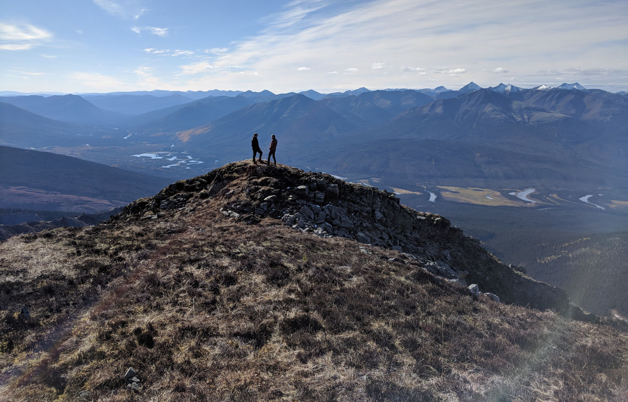
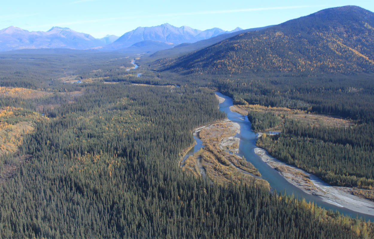
The Government of Yukon and First Nation of Na-Cho Nyäk Dun are preparing a land use plan for the Beaver River watershed.
Who's doing the planning?
A planning committee has been formed to guide the process. On it are:
- 2 First Nation of Na-Cho Nyäk Dun delegates; and
- 2 Government of Yukon delegates.
The planning committee is currently gathering information about the planning area.
What's happening now?
The newest work plan agreement is available. The timeline set out for the draft plan was to be finalized in December 2023. Due to unforeseen circumstances the draft plan completion has been delayed. The land use plan is currently being drafted by the committee and land designations discussions, such as identifying conservation areas, are underway between Yukon Government and the First Nation of Na-Cho Nyäk Dun.

The planning area
Download planning documents
- Beaver River land use plan and agreement work plan (Winter 2023 update)
- Government of Yukon priority planning issues and interests
- Agreement between the Government of Yukon and First Nation of Na-Cho Nyäk Dun
What We Heard reports
Community meetings
- Community meetings presentation (2019)
- Comment sheet from community meetings
- Keno City community meeting notes (March 10 to 11, 2020)
- Keno City community meeting notes (January 21, 2019)
- Mayo community meeting notes (January 21, 2019)
- Whitehorse community meeting notes (February 6, 2019)
How to provide information
If you wish to provide information on the planning area, send an email with the subject line of "Beaver River Land Use Plan" to:
Answer the following questions:
- What do you see as the important values of the planning area?
- Is there any specific information about the planning area and the proposed route for the tote road that you think the planning committee should know about? Possible topics include land, water, fish and wildlife, heritage areas and areas of special interest.
There will be further engagement in the coming months with:
- Na-Cho Nyäk Dun citizens;
- residents of the Na-Cho Nyäk Dun Traditional Territory, including:
- Mayo;
- Stewart Crossing; and
- Keno City; and
- interested parties and the Yukon public.
Give us your feedback


