Region
Klondike
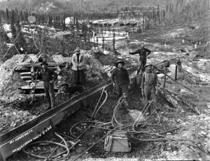
Warning
The Goldfields loop is an active mining region. Please respect private property. With narrow roads and steep grades, the loop is not suitable for large RVs.
Location
Highway
Klondike Highway
Highway kilometre
700.0
Secondary road
Hunker Creek Road
Secondary road kilometre
0.5
GPS coordinates
64.02783°N 139.16284°W
Site directions
Turn west off the highway and follow the Hunker Creek Road for 26 km.