
July 5, 2021
The following changes have been completed on the Biological map service.
The changes include adding the following layers:

The following changes have been completed on the Biological map service.
The changes include adding the following layers:


We've released a new training video called Introduction to the Yukon LiDAR collection.
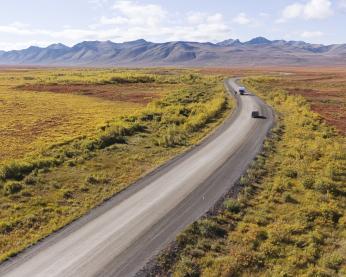
The following changes have been completed on the Transportation map service.

We've released a new training video called GeoYukon: the basics. It covers a variety of topics about the GeoYukon online web mapping application, including:
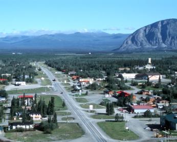
We have released a new online app called Find a Yukon street address. The application allows you to search for a street address or legal description.
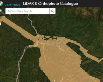
We're offering training via Zoom from 2 p.m. to 2:45 p.m. on Thursday, April 1, 2021, for the Yukon LiDAR collection application.
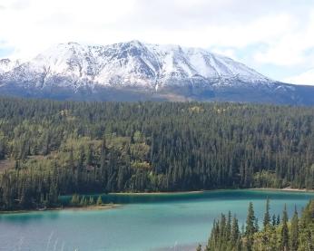
The Forest Management Branch has released 2 new digital mapping layers.
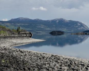
The Southern Lakes Regional Imagery Project was a collaboration from 2017 to 2019 between:

This weekend (February 26 to 28) is the annual Government of Yukon server maintenance weekend. All servers will be updated and restarted.