This post is older than 6 months.
By jobruce
March 10, 2021
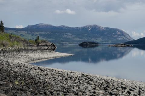
The Southern Lakes Regional Imagery Project was a collaboration from 2017 to 2019 between:
- the Carcross/Tagish First Nation;
- Kwanlin Dün First Nation; and
- the Government of Yukon.
The project area is over 36,600 square kilometres and is home to over 75% of Yukon’s population. A new collection of SPOT-6 and SPOT-7 satellite images covers most of the project area.
For more information, email [email protected].
Comments
By submitting your comment, you understand it will be published on a public website if it meets our commenting policy. Read our privacy statement to see how the government handles your information.
Be the first to commentAdd new comment Close