- The different types of monitoring stations we use
- What we use to determine highway conditions
- How we inform the public of highway conditions
- How we collect traffic data
- How we do work in remote areas
How we monitor the Yukon’s highway network
We use many kinds of data collection and monitoring systems throughout the territory. Together, they’re called intelligent transportation systems (ITS). ITS describes the use of technology in transportation applications. These include:
- computers;
- sensors;
- control systems;
- communications; and
- other electronic devices.
This technology often help to save lives, time, money, energy and the environment.
-
The different types of monitoring stations we use
We use many different ITS devices to collect, send and present information. This information provides highway travellers with relevant information, such as the locations of:
- incidents;
- weather;
- hazards, whether environmental or otherwise; and
- road conditions.
The data collected by these systems is also used to plan highway maintenance and improvement projects.
-
What we use to determine highway conditions
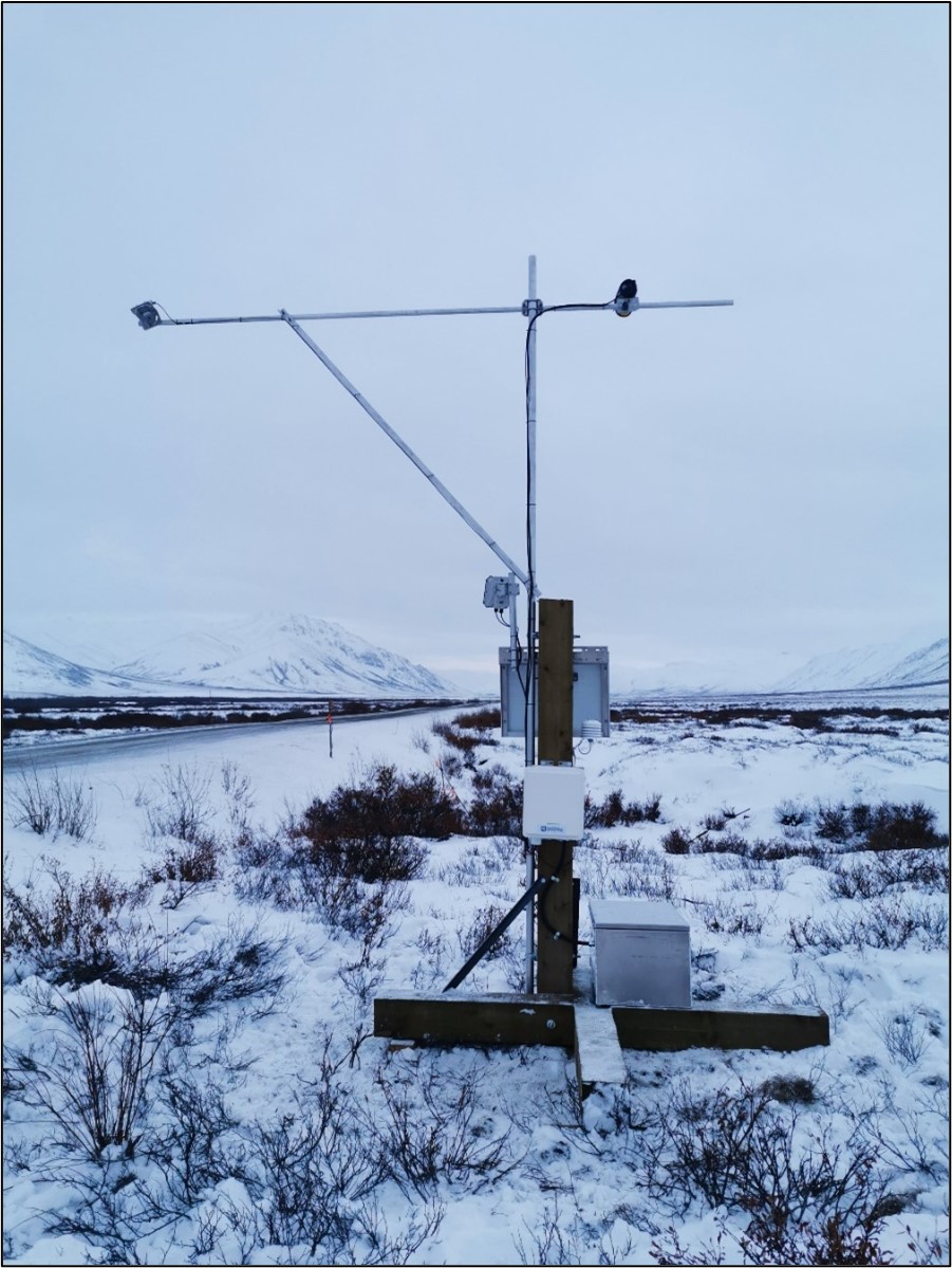
Road weather information systems (RWIS)

These systems collect real-time weather data across the highway network,
including:
- air and road surface temperatures;
- wind speeds; and
- humidity.
Some stations also have frost-depth and water-level detection systems.
Stations are also outfitted with cameras. These cameras provide real-time images you can see on the 511 Yukon website.
We use the data from this system to inform drivers and road maintenance personnel of:
- changing weather; and
- road conditions.
There are currently 24 RWIS stations in service in the Yukon.
Frost-depth monitoring systems
These systems measure sub-surface temperatures. This data informs decisions about seasonal weight restrictions on the Yukon’s highways.
Water-level detection systems
These systems measure and detect water levels under bridges, and:
- provide early warning for potential safety hazards, such as flooding; and
- alert highway maintenance staff.
-
How we inform the public of highway conditions
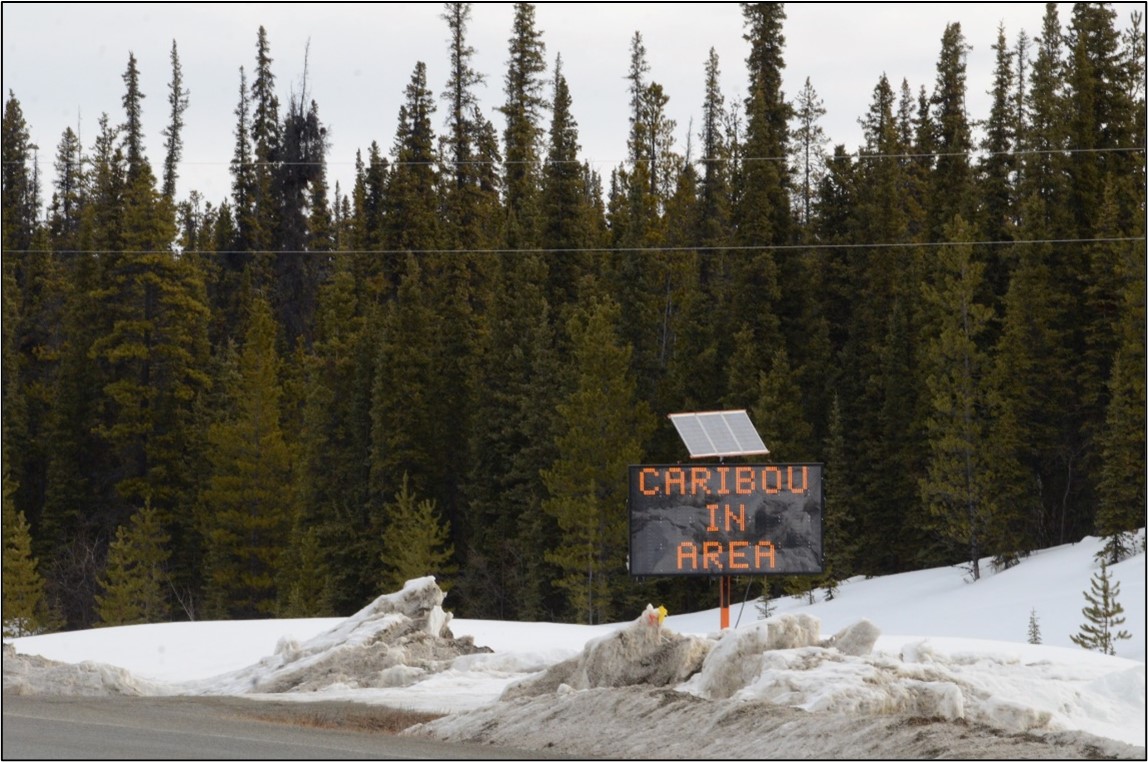
Traveller information systems

These systems provide real-time information to travellers. Systems such as RWIS collect this information and share it through:
- 511 Yukon; and
- a network of digital message signs (DMS) located along the highways.
Right now, the territory has in operation:
- 20 fixed DMS, including 4 cantilevered DMS on the Alaska Highway near Whitehorse; and
- 33 trailer DMS.
-
How we collect traffic data
Traffic monitoring systems

These systems collect traffic data across the highway network. This includes vehicle counts, speeds and classification – like whether the vehicle is a passenger car or heavy truck.
To gather traffic information across the Yukon’s 4,800 kilometres of highway, we use a combination of:
- permanent counting systems; and
- temporary counting systems.
The data collected helps to inform:
- traffic-operation decisions; and
- maintenance and improvement planning.
-
How we do work in remote areas
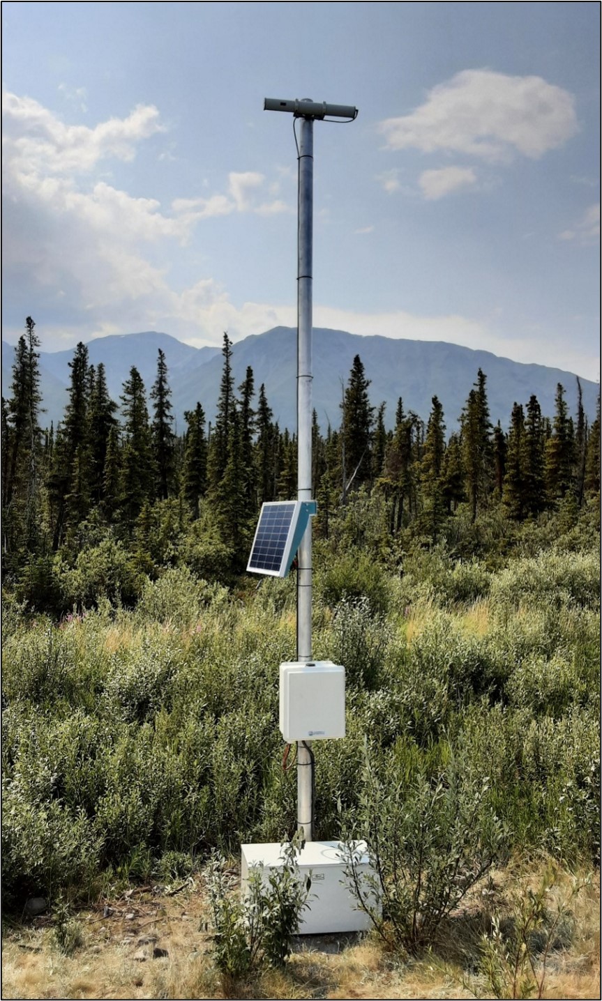
Remote power and communications
Many ITS devices in the Yukon need to be installed in very remote areas that are:
- outside of cell coverage; and
- have no direct access to power distribution.
To operate the devices and connect them to the network in these areas, we use a combination of:
- remote power solutions like solar energy, fuel cells and batteries; and
- satellite-based communication solutions.
Previous