Results from the Yukon government’s April 1 Yukon Snow Survey Bulletin and Water Supply Forecast show that snowpack throughout the Yukon is well above average.
Eight of eleven monitored basins have the highest basin snowpack estimates ever recorded, while the remaining three basins have well above average snowpack.
Record setting snowpack in many watersheds in the territory increases the potential for flooding during river ice breakup and spring snowmelt.
While snowpack is one risk factor for flooding during the spring breakup and snowmelt period, spring weather is also critical. The timing and progression of snowmelt and precipitation events are important drivers of flooding regardless of snowpack levels.
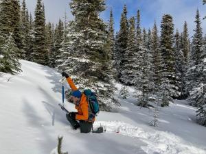
Every March, April and May, the Government of Yukon conducts Yukon-wide snow surveys to help forecast water levels and flow conditions across the Yukon.
The Snow Survey Bulletin and Water Supply Forecasts provide a summary of winter meteorological and hydrological conditions for major Yukon watersheds.
The bulletin provides long-term snowpack averages, monthly data, and current snow depth and snow water equivalent (SWE) observations for 52 locations in the Yukon, and five locations in the neighbouring areas of British Columbia and Alaska.
Snow water equivalent (SWE) is the amount of water released from the snowpack when it melts.
The April 1 snow survey typically represents peak snowpack in most parts of the territory.
The last snowpack survey will be conducted on May 1, with the findings publicly released mid-May.
For more information on how to prepare for flooding visit Yukon.ca/floods or Canada.ca/flood-ready
Sophie Best
Communications, Environment
867-334-5922
sophie.best@yukon.ca